Canyonlands National Park
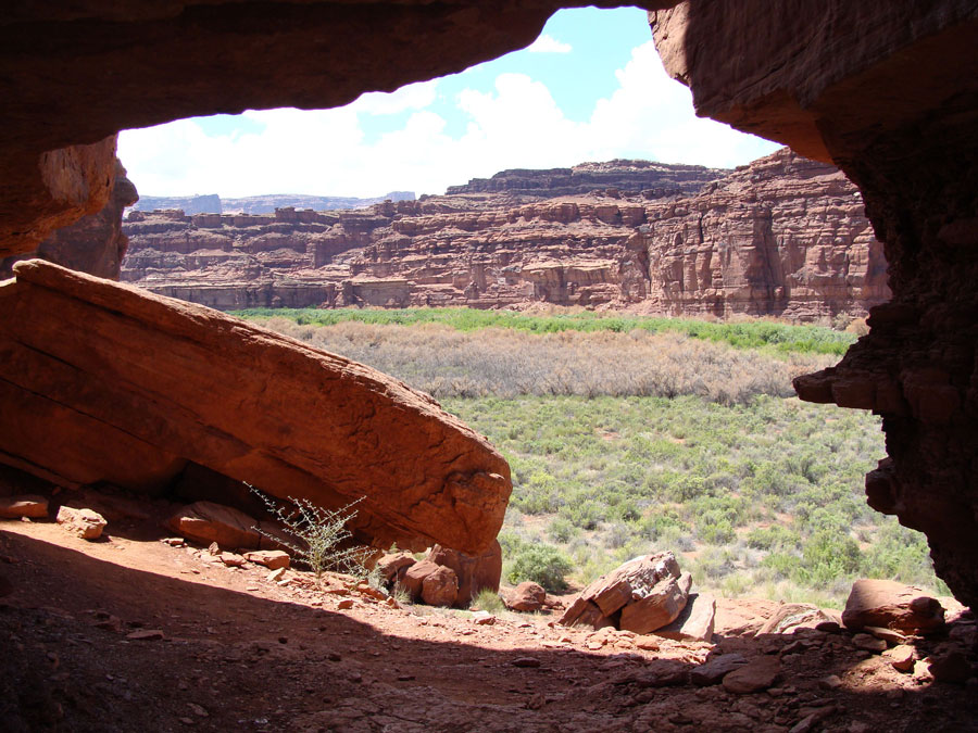
Canyonlands National Park, established in 1964, holds a vast wilderness of rock at the heart of the Colorado Plateau. Water and gravity shaped the land cutting flat layers of sedimentary rock into hundreds of colorful canyons, mesas, buttes, arches and spires. Two great canyons are the life force of the park, those carved by the Green and Colorado rivers. Surrounding the rivers are three very different regions of the park: Island in the Sky District, the Maze District, and the Needles District. Canyonlands is located within a geologic region called the Colorado Plateau. It is a great section of continental crust that has endured millions of years of rock building and erosion.
-
Advancing and retreating oceans left thick deposits of beach sands and marine limestone. Great river systems moved tons of sediment from ancient eroding mountain ranges such as the Ancestral Rockies (forerunners of today's Rocky Mountains) and deposited that sediment in low-lying areas. Buried sediment became solid rock as pressure from overlying layers and filtering water cemented them
After millions of years of predominantly rock-building processes, the erosion that continues today began. Roughly 10 million years ago, plates in the Earth's crust moved in such a way that the western edge of the continent began to rise.
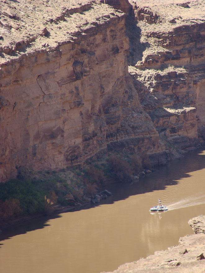
The slowly rising land mass, including the Colorado Plateau became higher and therefore more susceptible to erosion. Newly elevated highlands captured rain and snowfall and gave birth to the Colorado River system. The uplifting land caused rivers to down-cut more rapidly, entrenching themselves in solid rock. The results are the 2,000 foot deep canyons of the Colorado and Green Rivers cutting through the heart of Canyonlands.
Read the Denver Post's interview with Adventure Bound about the untamed, unequaled Colorado River through Cataract Canyon
-
Advancing and retreating oceans left thick deposits of beach sands and marine limestone. Great river systems moved tons of sediment from ancient eroding mountain ranges such as the Ancestral Rockies (forerunners of today's Rocky Mountains) and deposited that sediment in low-lying areas. Buried sediment became solid rock as pressure from overlying layers and filtering water cemented them
After millions of years of predominantly rock-building processes, the erosion that continues today began. Roughly 10 million years ago, plates in the Earth's crust moved in such a way that the western edge of the continent began to rise.
View more Colorado River rafting and inflatable kayaking photos in our Photo Gallery
If you have some great photos from one of our trips and would like to share them, please tag us #adventureboundusa . Or say hello @adventureboundusa